
Mishawaka ZIP Coverage
Three reviewed postal codes carry Mishawaka associations, but they do not divide the incorporated city into neat resident lists. The October 2025 St. Joseph County map supplies the best official countywide picture because it places ZIP areas beside streets and municipal boundaries. USPS remains the source for the deliverable code on one complete address.
| ZIP | Working coverage | Post office | Important note |
|---|---|---|---|
| 46544 | Central and much of older Mishawaka | Mishawaka Post Office | Standard delivery; verify each address |
| 46545 | Northern and eastern Mishawaka plus adjoining postal territory | Mishawaka postal service | Does not equal the city-limit line |
| 46546 | Mishawaka-area postal use | Mishawaka Post Office | Primarily described as a PO Box route in reviewed sources |
The main post office is at 111 E. 3rd St., Mishawaka, IN 46544-9998, phone (574) 255-9691. Reviewed hours were weekdays 8 a.m. to 7 p.m. and Saturday 9 a.m. to 4 p.m.; check before visiting. Postal staff can answer delivery questions, but parcel ownership belongs to county records.
Mapping Mishawaka ZIP Areas
The St. Joseph County ZIP map is dated October 2025. It displays postal areas with city and town boundaries, county context, and street centerlines. Use the printed date when citing a boundary. The map is a geography source, not a roster and not proof that a named person occupies any address.
The city's public centerline service supplies street geometry and a ZIP field. That is useful for checking whether a normalized street segment carries the expected code, especially near a postal edge. It still does not validate delivery or establish who owns a parcel.
The Mishawaka county centerline service exposes the map layer used for that comparison.
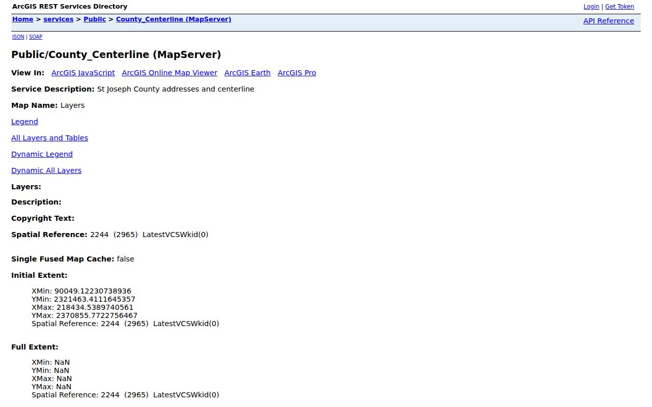
The captured service view shows why a street layer can refine a ZIP search without being mistaken for a household directory.
Search Mishawaka by ZIP
Begin with a complete, current address. The official portals have different keys, and several do not offer a stand-alone ZIP filter. A ZIP code directory is therefore the first sorting step, not the final search. Once an address is standardized, a parcel number becomes the most stable bridge among assessment, tax, GIS, and recorded land documents.
- Enter the street address, city, and state in USPS ZIP Lookup. Save the returned ZIP and ZIP+4 only if needed.
- Search Engage or MACOG by the normalized address. Record the parcel number, physical address, owner field, map date, and jurisdiction shown.
- Compare the county ZIP map, city boundary, township, and parcel layers. Keep any mismatch visible instead of forcing all fields to agree.
- For a lawful voter-data need, ask St. Joseph County Elections whether VRG-24 permits the requested ZIP or precinct scope and which redactions apply.
- Move from the ZIP to a specific road using the Mishawaka street directory when a street-level record chain is needed.
Do not infer residents from a license or entity result filtered by ZIP. PLA can show a practice or mailing place. INBiz can show a registered office or agent. Indiana Unclaimed Property can show city and ZIP tied to a claim listing. Each is a clue with its own date and purpose.
Mishawaka ZIP Search Fields
The strongest field set depends on the question. USPS validates delivery. Engage and LowTaxInfo identify parcels and tax records. GIS adds map position. Other state tools can accept ZIP but return a public role rather than residence. The distinction prevents a mailing field from becoming an unsupported household claim.
| Official source | ZIP-related input or output | What it means |
|---|---|---|
| USPS Lookup | Full address returns ZIP and ZIP+4 | Delivery normalization only |
| County ZIP map | Mapped ZIP labels | Postal geography beside municipal lines |
| Engage | No separate ZIP control observed; address results show context | Assessment and parcel record |
| LowTaxInfo | Name, address, parcel, duplicate number; ZIP may display | Tax and legal-description context |
| City centerline | ZIP, address, city, coordinates | Street schema, not a person record |
| PLA and INBiz | ZIP with other advanced fields | License or entity affiliation |
When Engage has no match, try the street number and street name in a simpler form, then use MACOG or the tax portal to find the parcel. A no-match can reflect spelling, a new parcel, postal-city variation, or protected information.
St. Joseph County's LowTaxInfo search shows its official property-search controls.
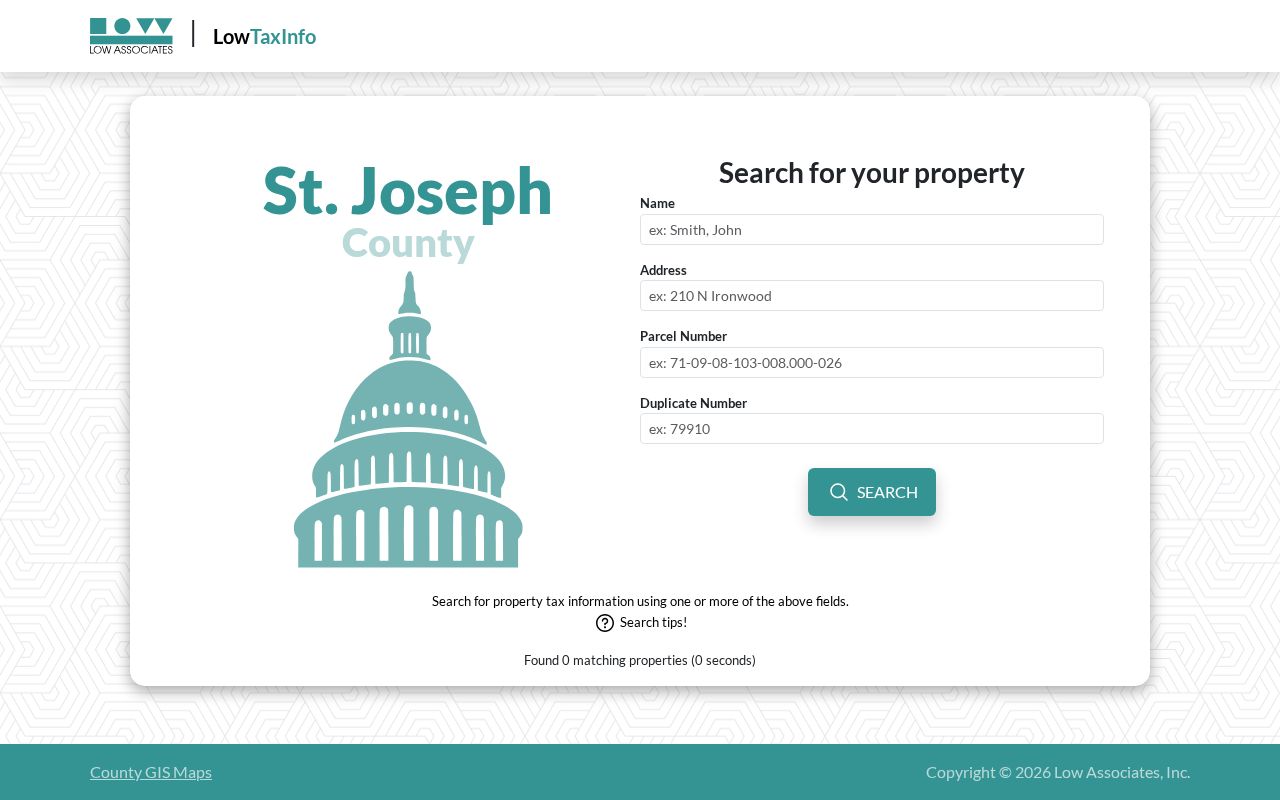
The screen demonstrates that an address or parcel key, rather than ZIP alone, drives the county tax lookup.
Mishawaka ZIPs and City Limits
A Mishawaka postal label does not conclusively place land inside the incorporated city. ZIP, city, township, school, precinct, taxing-neighborhood, and parcel boundaries answer different questions. The city is also adjacent to South Bend and served by city, county, and regional map layers. Use the parcel's city field and a municipal-boundary layer when city jurisdiction matters.
- ZIP and ZIP+4
- The five-digit ZIP directs mail to an area. ZIP+4 narrows delivery, but it is not a parcel or household identifier.
- PO Box ZIP
- A code used mainly for post-office boxes rather than ordinary street delivery.
- Unique ZIP
- A code assigned to one high-volume organization. No Mishawaka unique ZIP was verified in the research.
- Carrier route
- A postal delivery path within a ZIP. It does not define city limits or parcel ownership.
The 46546 quirk makes this warning concrete. Reviewed material describes it mainly as a PO Box or postal-use route. Never assign it to a street residence without USPS confirmation.
Boundary check. Keep postal and municipal fields separate. A valid Mishawaka mailing address can still require county data to establish city jurisdiction.
Mishawaka Parcels After ZIP Search
Engage can be searched by owner name, address, or parcel number. A result may show the owner, mailing and physical addresses, parcel ID, legal description, neighborhood or tax unit, valuation, tax details, property card, and transfer history. A property owner record does not list every resident.
The MACOG viewer searches address, owner, or parcel ID and can highlight, zoom, print a map, or print a report. The City of Mishawaka parcel service supplies another public layer. Use these sources together: assessment for the card, tax search for payment and legal-description context, and GIS for location and nearby geometry.
Mishawaka's public parcel map service is the local layer represented below.
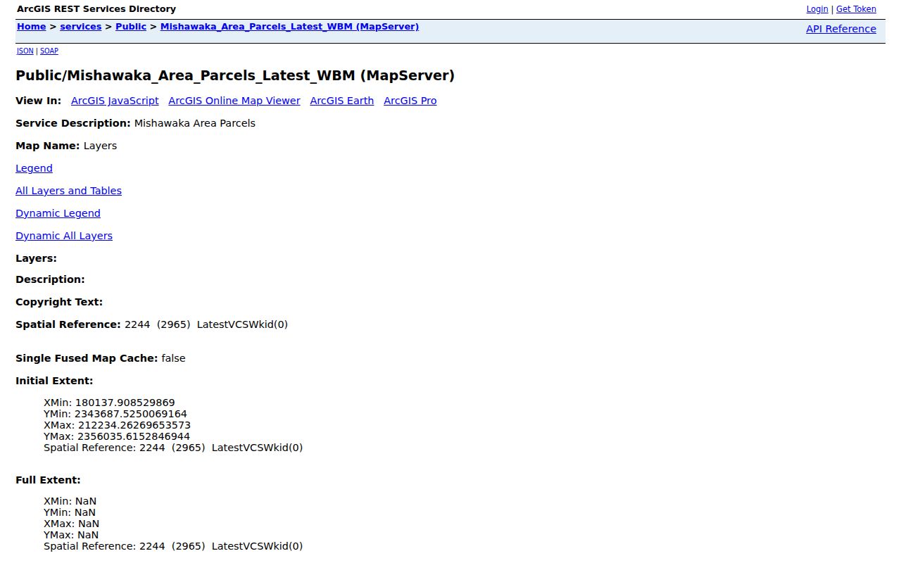
After the postal area is known, the parcel layer supplies the physical land unit needed for an accurate official-record search.
Note: Situs means the physical parcel address; the owner's tax mailing address may use another city, state, or ZIP without creating a conflict.
Older Mishawaka ZIP Addresses
ZIP codes do not solve historical address changes. The Indiana State Library lists St. Joseph County map and atlas material for years including 1908, 1910, 1911, 1913, 1923, 1925 through 1941, 1949, and 1954. The Library of Congress holds a 15-sheet 1907 Mishawaka Sanborn fire-insurance map set. Those sources can compare old street names, blocks, structures, and industrial sites with a modern parcel.
No official source reviewed gave one complete citywide street-renumbering schedule or one verified ZIP realignment date. Compare the year-specific directory, Sanborn sheet, plat, deed legal description, street-centerline data, and newspaper. Then ask the Recorder or Auditor when two addresses appear to describe the same land.
A modern ZIP should never be projected backward into a directory entry from before the postal code system. Cite the old address exactly as printed, along with its source year.
Mishawaka ZIP Record Fallbacks
Not every official office will create a list of people in a ZIP. Indiana's Access to Public Records Act applies to existing public records. A focused request should identify the department, record type, date range, ZIP or precinct scope, fields, preferred format, and lawful purpose. Ask first whether the office maintains the requested field in searchable form.
For voter data, use the county Elections office and VRG-24, which carries disclosure and use limits. For a parcel question, use Engage, MACOG, LowTaxInfo, the assessor counter, or the Auditor and Plat Room. For a recorded deed, lien, plat, or mortgage, use the Recorder's Tapestry or Laredo service, its public computers, mail, or a narrow records request. Older material may require deed books, microfilm, the library, or Archives.
A phone call can save a wasted trip. Ask whether the requested record is held by the city, county, or state, whether staff can search by ZIP, and whether an appointment is needed. The county seat is South Bend, so Mishawaka property, court, recorder, and election files often sit with St. Joseph County offices rather than a city courthouse. City permit and code files follow a different route through Mishawaka departments. Give staff the full street address and parcel number whenever possible, since a five-digit postal code may be too broad for an office index.
For historical address work, Mishawaka-Penn-Harris Public Library and the Vincent Bendix Research Library provide another channel. Their maps, directories, newspapers, photographs, and archival papers may resolve an old number that current GIS cannot match. State Library county guides and map catalogs extend that search. Record the volume, page, map sheet, and year, because a historical address should be tied to the source that displayed it.
The Mishawaka ZIP code directory narrows geography. It does not override confidential voter records, covered-person suppression, sealed files, or private association rosters. Report a negative result as not found in the named source and coverage, not as proof that no person or address exists.